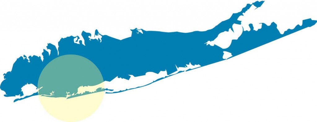
The South Shore Blueway Trail spans the southern coast of Nassau County encompassing the western bays of the South Shore Estuary Reserve (SSER), comprised of West, Middle, and East Hempstead Bays and South Oyster Bay. From the western border of the Town of Hempstead the project area stretches 18 miles to the Nassau/Suffolk County line at South Oyster Bay. One of the largest undeveloped coastal wetlands systems in New York State, the large complex of shallow, interconnected bays is separated from the Atlantic Ocean by Jones Beach and Long Beach barrier islands. Two openings separate the barrier islands and connect the bays with the ocean at Rockaway Inlet and Jones Inlet. Hundreds of acres of tidal wetlands, barrier beach and back-°©‐barrier lagoon, creeks and channels, marshlands, mudflats, and salt marsh islands characterize the south shore region. The area supports a diversity of fish and wildlife providing vital habitat for migratory shorebirds, wintering waterfowl and finfish. South Oyster Bay and the Hempstead Bays are on the Atlantic Flyway, a major bird migration route. Multiple species of seals winter in the bays. The South Shore Blueway Trail spans the Town of Hempstead and Town of Oyster Bay,the Village of Freeport and the City of Long Beach, Jones Beach Island, and several other villages and hamlets.

